
ADB AI for Safer Roads Innovation Challenge 2026: Call for AI Experts, Data Scientists, and Transport Innovators Across Asia and the Pacific @Unknown
Road traffic injuries remain one of the leading causes of death globally, particularly in low- and middle-income countries where infrastructure, speed management systems, and urban planning often struggle to keep pace with rapid development and population growth. Across Asia and the Pacific, governments and development institutions are increasingly seeking data-driven approaches to improve road safety and reduce preventable deaths.
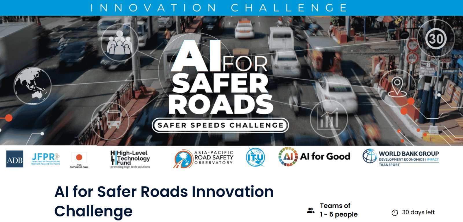
To address this urgent challenge, Asian Development Bank has launched the AI for Safer Roads Innovation Challenge 2026, an international innovation competition designed to harness artificial intelligence, mobility data, and geospatial analysis to improve road safety systems across the region.
The initiative is being implemented in collaboration with the World Bank Development Impact Group, AI for Good, and International Telecommunication Union, with support from JFPR and HLTF.
The challenge invites data scientists, AI specialists, transport engineers, policy innovators, researchers, and multidisciplinary teams from ADB member countries to develop innovative AI-powered models capable of identifying where speed limits may not align with real-world road conditions and safety needs.
About the AI for Safer Roads Innovation Challenge
The AI for Safer Roads Innovation Challenge aims to explore how emerging technologies can transform the way governments and institutions understand and manage road safety risks.
By combining:
- Artificial Intelligence (AI)
- Large-scale mobility datasets
- GPS probe data
- Geospatial analysis
- Machine learning tools
- Road network information
- Street-level imagery
the challenge seeks to uncover hidden risk patterns and generate practical solutions that can help policymakers make evidence-based decisions on road safety interventions.
Unlike traditional traffic monitoring systems that focus on whether drivers exceed speed limits, this challenge specifically asks participants to determine whether the posted speed limits themselves are appropriate for the actual road environment.
Core Challenge Question
Participants are expected to answer the following central question:
How might AI and mobility data be used to determine where speed limits are misaligned with real-world road conditions, thereby supporting evidence-based speed management across Asia and the Pacific?
This focus aligns with global Safe System principles, which emphasize designing transport systems that reduce the likelihood of fatal and serious injuries.
Objectives of the Competition
The competition aims to support the development of analytical tools and scalable methodologies that can:
- Assess whether posted speed limits align with Safe System principles
- Detect road segments where current speed limits may increase risk for vulnerable road users
- Generate spatial outputs and geospatial visualizations
- Help governments prioritize safety interventions
- Support scalable, data-driven transport policy decisions
- Improve evidence-based road safety management
Who Should Apply?
ADB is encouraging participation from experts and innovators with backgrounds in:
- Artificial Intelligence
- Data Science
- Transport Engineering
- Urban Planning
- Geospatial Analysis
- Public Policy
- Machine Learning
- Mobility Analytics
- Road Safety Research
Teams can consist of:
- Individual participants
- Small multidisciplinary teams
- Groups of up to five people
The competition encourages collaborative problem-solving that combines technical expertise with policy understanding.
Key Features Required in Submitted Solutions
Participants must design analytical models capable of performing several critical functions.
1. Safe Speed Assessment
Teams should develop methodologies that assess whether posted speed limits are appropriate based on:
- Road function
- Operating speeds
- Land use patterns
- Traffic intensity
- Urban or rural classifications
The objective is to evaluate whether speed limits support safe mobility for all road users.
2. Risk Identification
Solutions should identify road segments where current speed limits may expose vulnerable users to elevated risks.
This includes areas affecting:
- Pedestrians
- Cyclists
- Powered two-wheeler users
- Communities near schools or markets
Participants are encouraged to use AI and data analysis techniques to uncover safety vulnerabilities not immediately visible through conventional assessments.
3. Policy-Ready Outputs
One of the most important aspects of the challenge is the production of practical outputs governments can use directly.
Solutions should therefore generate:
- A Speed Safety Score
- Geospatial visualizations
- Interactive mapping outputs
- Priority intervention recommendations
These outputs should support policymakers in identifying high-risk road segments for review or redesign.
Datasets Provided to Participants
Registered participants who agree to the Non-Disclosure Agreement (NDA) will receive access to anonymized and aggregated datasets.
Available Datasets Include:
GPS Probe Data
This dataset includes:
- Operating speeds
- 85th percentile speeds
- Speed distributions
- Posted speed limits
- Traffic intensity indicators
Road Network Data
Participants will also receive road infrastructure data such as:
- Functional road classifications
- Urban/rural segmentation
- Intersection density
- Road segment lengths
Mapillary Street-Level Imagery
Street-level imagery datasets will provide:
- Crowdsourced road images
- Machine-learning identified road features
- Road sign information
Optional Contextual Layers
Additional contextual datasets may include:
- Population density
- Land use patterns
- School proximity indicators
- Market proximity
- Powered two-wheeler indicators
These datasets are intended to support comprehensive AI-driven analysis.
Timeline of the Competition
Application Phase
Deadline: 25 June 2026
Participants must submit:
- AI analytical models
- Geospatial analyses
- Supporting documentation
before the deadline.
Review Phase
July 2026
Expert reviewers will evaluate all submissions.
The top five solutions will be shortlisted and officially announced in September 2026.
Refinement Phase
September 2026
Shortlisted teams will:
- Build visualizations on ADB’s GIS platform
- Refine their solutions
- Incorporate technical feedback from reviewers and experts
Final Pitch Phase
October 2026
Finalists will present their solutions before a high-level jury panel.
This stage provides teams with the opportunity to showcase the practical impact and scalability of their innovation.
Why This Challenge Matters
Road crashes claim millions of lives globally every year, with vulnerable road users disproportionately affected.
Many existing road safety systems rely on outdated methods or incomplete data when determining appropriate speed limits. By integrating AI, mobility analytics, and geospatial intelligence, this initiative seeks to modernize road safety decision-making.
The challenge contributes to broader goals including:
- Safer urban mobility
- Sustainable transportation systems
- Evidence-based policymaking
- Reduced road fatalities
- Improved infrastructure planning
- Data-driven governance
It also demonstrates the growing role of AI in solving complex public-sector and development challenges.
Benefits of Participating
Participants in the AI for Safer Roads Innovation Challenge can gain several advantages:
- International visibility
- Exposure to global development institutions
- Networking with leading AI and transport experts
- Opportunity to contribute to road safety innovation
- Potential integration into regional policy discussions
- Experience working with large-scale mobility and geospatial datasets
- Recognition from ADB and international partners
Shortlisted teams will also have the opportunity to refine and showcase their solutions on ADB’s GIS platform.
Application Deadline
The deadline to submit solutions is:
25 June 2026
Applicants are encouraged to register and begin working with the datasets as early as possible.
Official Website
For full details and registration, visit:
ADB Challenges Official Platform
Learn More
- For more information about this opportunity, Click here
- More global Competition opportunities for youth, visit the OFY website: Click here
ADB AI for Safer Roads Innovation Challenge 2026: Call for AI Experts, Data Scientists, and Transport Innovators Across Asia and the Pacific
@Unknown
Location
Global
Work Mode
competition
Posted
about 5 hours ago
Beware of scams! When applying for jobs, you should NEVER have to pay anything. Learn more.
Get jobs in your inbox
Join over 10,000 subscribers receiving our weekly newsletter.
You might also like

FEC 2026 Innovation Challenge: Funding and Scaling Africa’s Next Generation of Clean Energy Innovators
Unknown

Cover Design Contributor
AfricaNenda Foundation

Democracy Hackathon
Council of Europe

InCube Challenge 2026
ETH Entrepreneur Club

Bach Khoa Innovation (BKI) 2026 International Entrepreneurship & Innovation Challenge: Global Opportunity for Students, Universities, Startups and Deep-Tech Innovators
Ho Chi Minh City University of Technology

Multilingual AI Challenge 2026
Hub for Artificial Intelligence in Maternal, Sexual and Reproductive Health (HASH)