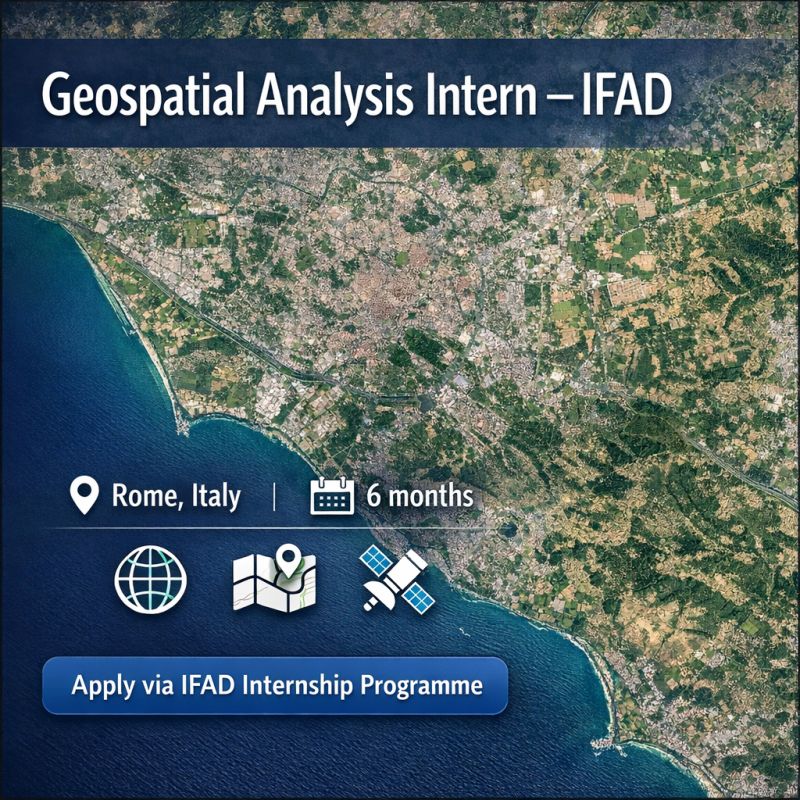
Apply for the Geospatial Analysis Internship at IFAD in Rome (GIS & Remote Sensing Students) @IFAD in Rome (GIS & Remote Sensing Students)
Students and recent graduates with skills in GIS, cartography, and remote sensing now have an opportunity to gain international development experience through a Geospatial Analysis Internship with the International Fund for Agricultural Development (IFAD).
The internship is offered within the Geospatial Unit of the Office of Development Effectiveness (ODE) at IFAD. The selected intern will support geospatial data analysis and mapping work that contributes to monitoring development projects and evaluating their impact.
This role provides a unique chance to apply geospatial analysis tools within the context of global development, agricultural programs, and environmental monitoring, while working with a specialized team inside a United Nations agency.
The internship can be completed in person in Rome, remotely, or through a hybrid arrangement, depending on the candidate’s circumstances.
About the Internship Role
The Geospatial Unit at IFAD plays an important role in helping the organization analyze geographic data to improve development planning, monitoring, and evaluation.
Geospatial analysis allows IFAD teams to better understand where projects are located, how resources are distributed, and how rural development initiatives are impacting communities.
As a Geospatial Analysis Intern, the selected candidate will contribute to several technical tasks that support IFAD’s analytical and reporting work.
Why This Internship Matters
Geospatial data has become increasingly important in international development. Organizations like IFAD rely on geographic information systems to track project locations, evaluate outcomes, and improve planning for rural development initiatives.
By supporting mapping, satellite analysis, and geospatial data management, the Geospatial Analysis Intern will help strengthen the evidence base that guides IFAD’s development programs.
For students interested in careers in GIS, environmental monitoring, remote sensing, or development analytics, this internship provides an opportunity to gain valuable experience working with a global organization.
It also allows participants to build technical skills while contributing to projects that aim to improve livelihoods and reduce rural poverty around the world.
What the Intern Will Work On
During the internship, the selected candidate will support the Geospatial Unit with a range of geospatial data and mapping activities.
Key responsibilities include:
- Creating maps for reports, dashboards, and operational analyses
- Processing and maintaining geospatial datasets such as project locations and administrative boundaries
- Supporting satellite imagery analysis
- Contributing to geospatial workflows using tools like QGIS, ArcGIS, Google Earth Engine, Python, or R
These activities will help the intern gain practical experience working with geospatial tools in a real-world development context.
Interns will also gain exposure to how geospatial data is used in monitoring and evaluating development projects, which is an important part of IFAD’s mission.
Academic Background and Skills Required
The internship is designed for students and recent graduates with a strong interest in geospatial analysis and geographic information systems.
Applicants should have an academic background in areas such as:
- Geospatial Sciences
- Geography
- Remote Sensing
- Environmental Science
- Geoinformatics
- Or other related fields
Candidates should also have practical experience using GIS software, particularly tools such as QGIS or ArcGIS.
A solid understanding of cartographic principles is also expected, including knowledge of coordinate systems, projections, symbology, and scale.
Because the internship involves working with satellite data, experience with remote sensing datasets is also considered important.
Applicants must also demonstrate excellent proficiency in English, which is the working language used by IFAD teams.
Additional Skills That Are Considered an Advantage
While not mandatory, several additional skills can strengthen an application.
These include:
- Experience using Python or R for geospatial analysis
- Familiarity with Google Earth Engine
- Interest in international development, agriculture, climate research, or environmental monitoring
These additional skills can help candidates contribute more effectively to IFAD’s analytical workflows.
Internship Location and Duration
The Geospatial Analysis Internship is designed to be flexible and accessible for students and early-career professionals.
Key details include:
- Location: Rome, Italy (with options for in-person, remote, or hybrid work)
- Duration: 6 months
- Working hours: Flexible, with part-time or full-time arrangements available
This flexibility allows students to gain international experience while balancing academic commitments.
Application Deadline
The opportunity is available through the IFAD Internship Programme portal, and applicants should submit their applications through the official system. To access the system you must create a profile first.
Because internship opportunities may close once a suitable candidate is identified, interested applicants are encouraged to apply as soon as possible.
Explore More Opportunities for Youth
Want to discover more fellowships, scholarships, internships, and global programs like this one? Visit Opportunities for Youth to explore more opportunities.
Apply for the Geospatial Analysis Internship at IFAD in Rome (GIS & Remote Sensing Students)
@IFAD in Rome (GIS & Remote Sensing Students)
Location
Global
Job Type
europe
Posted
about 19 hours ago
Beware of scams! When applying for jobs, you should NEVER have to pay anything. Learn more.
You might also like

Applications for Urban Studies Foundation (USF) Open: Urban Urgencies Research Grants 2026
Unknown

Apply for the Fully Funded PhD on Environmental Change Agents in Hybrid and Remote Work Environments (UK)
Unknown

European Defence Agency Opens Applications for 2026 Traineeship Programme (Monthly stipend available)
Unknown
PhD Position on Older Migrants’ Family Networks at the University of Groningen
the University of Groningen
Apply for the Young Leaders GenC Program by Ashoka
Unknown

Women’s Leadership in Peace and Security 2026: Applications Open
Unknown