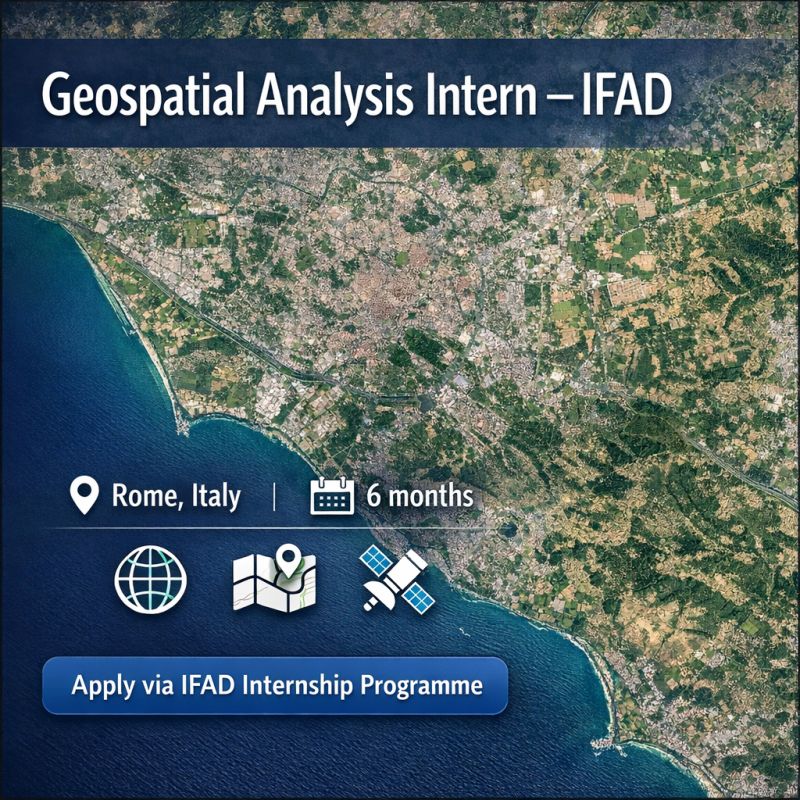
Geospatial Analysis Internship @International Fund for Agricultural Development (IFAD)
Overview
This Geospatial Analysis Internship with the International Fund for Agricultural Development (IFAD) offers students and recent graduates an opportunity to gain international development experience while applying geospatial analysis tools.
Key Responsibilities
- Creating maps for reports, dashboards, and operational analyses
- Processing and maintaining geospatial datasets such as project locations and administrative boundaries
- Supporting satellite imagery analysis
- Contributing to geospatial workflows using tools like QGIS, ArcGIS, Google Earth Engine, Python, or R
Requirements
Candidates should have a strong interest in geospatial analysis and geographic information systems with an academic background in:
- Geospatial Sciences
- Geography
- Remote Sensing
- Environmental Science
- Geoinformatics
- Other related fields
Additionally, practical experience using GIS software (QGIS or ArcGIS), a solid understanding of cartographic principles, and proficiency in English are expected. Experience with remote sensing datasets is important.
Benefits
The internship lasts for 6 months and offers flexible working hours (part-time or full-time) with options for in-person, remote, or hybrid arrangements.
Location
Rome, Italy
How to Apply
Applications should be submitted through the IFAD Internship Programme portal. Interested applicants are encouraged to apply as soon as possible as opportunities may close once a suitable candidate is identified.
Deadline
No specific deadline mentioned; apply as soon as possible.
Geospatial Analysis Internship
@International Fund for Agricultural Development (IFAD)
Location
Global
Job Type
Hybrid
Posted
22 days ago
Beware of scams! When applying for jobs, you should NEVER have to pay anything. Learn more.
You might also like

Harpswell ASEAN Women’s Leadership Summit 2026 – Fully Funded Program in Cambodia (Apply by April 19, 2026)
Harpswell Foundation

UNIDIR Graduate Professional Programme 2026: Paid Peace and Security Roles in Geneva and Remote (Apply by 2 March 2026)
United Nations Institute for Disarmament Research

Apply Now for the SI Global Executive Programme 2026 – Leadership for Sustainable Business Transformation
Leadership for Sustainable Business Transformation
University of Oxford Africa Oxford Initiative (AfOx) Visiting Fellowship 2026 Programme: Apply Now!!
University of Oxford

European Ombudsman Traineeships 2026: Paid EU Governance Opportunity for Graduates
European Ombudsman

UNOY Internship 2025: Partnerships Officer Opportunity in the Netherlands
UNOY Peacebuilders